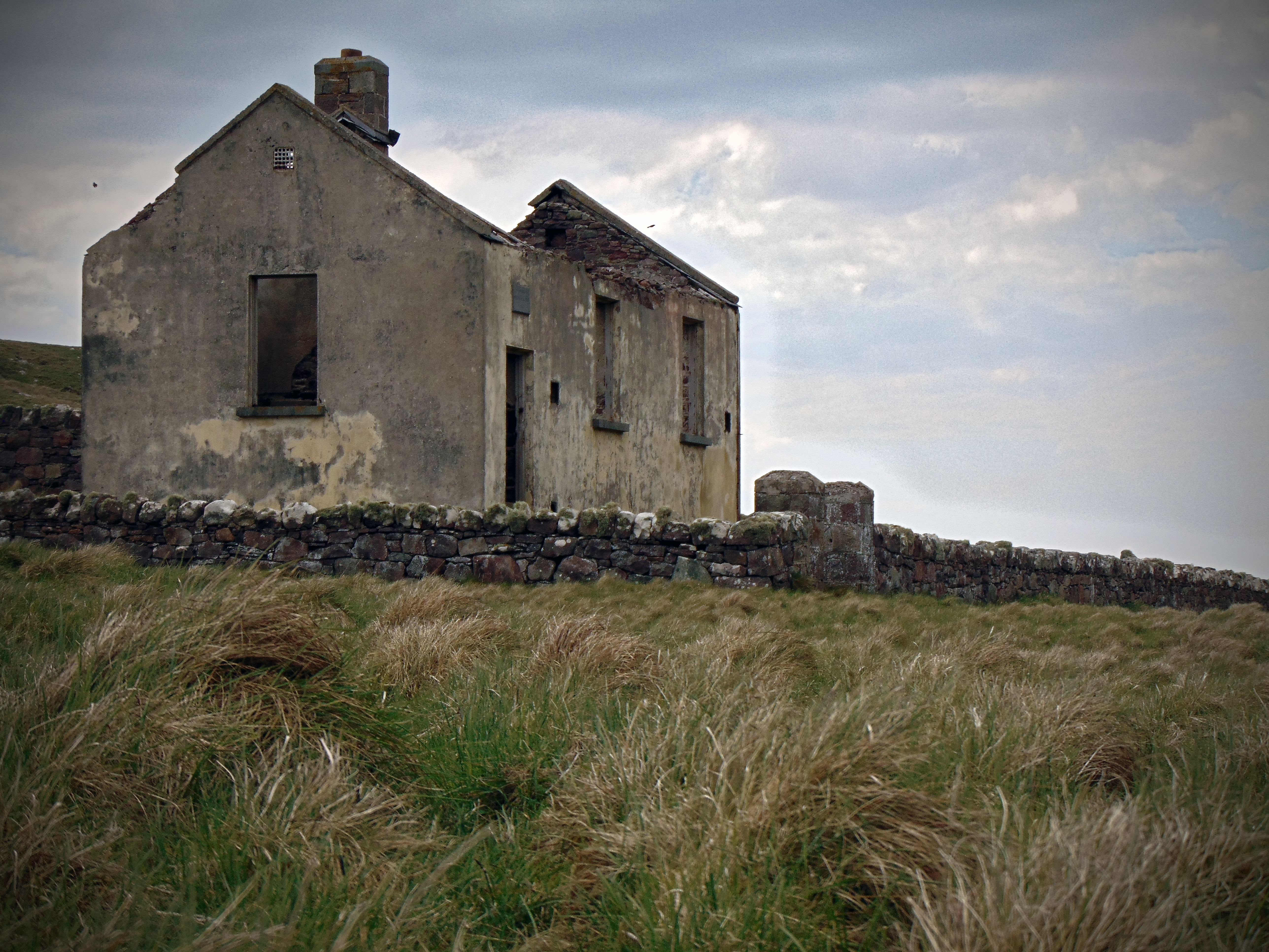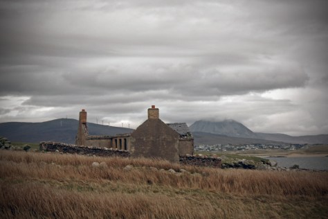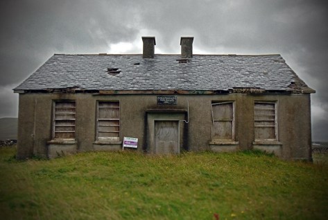

Coolagh National School, Drumatober townland, Co. Galway
(Dated 1930-40)
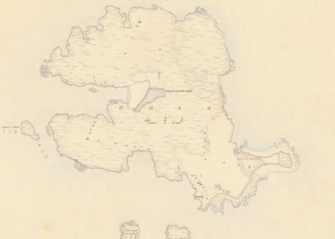
NGR: 175363, 215440
The rural landscape is not static, and has changed quite a bit over the recent decades. Although the hills, mountains, rivers and lakes don’t move much, the way that people interact with the landscape, and the character of the environment is dynamic and fluid. Rural towns and villages that were once important market places and a hub of rural activity, fade into a mere collective nostalgia for times gone by, as young people gravitate to cities and the landscape empties. I’m from County Galway and anytime I would have travelled to Dublin in the past, it was a straight burn along the N6 through Ballinasloe, Athlone, and on to the myriad of bottlenecks as you approached the capital. In more recent years the M6 means that I rarely see any of these towns anymore.
Before motorised transport and the railway, distance was largely the determining factor when choosing a route from west to east. Travelling from Galway to Dublin by carriage or on foot, it was likely that you would take a route through Loughrea, Killmor and Eyrecourt, crossing the River Shannon at Bangher in Co. Offaly; all the while passing near or along a much more ancient route, An Slighe Mhór.
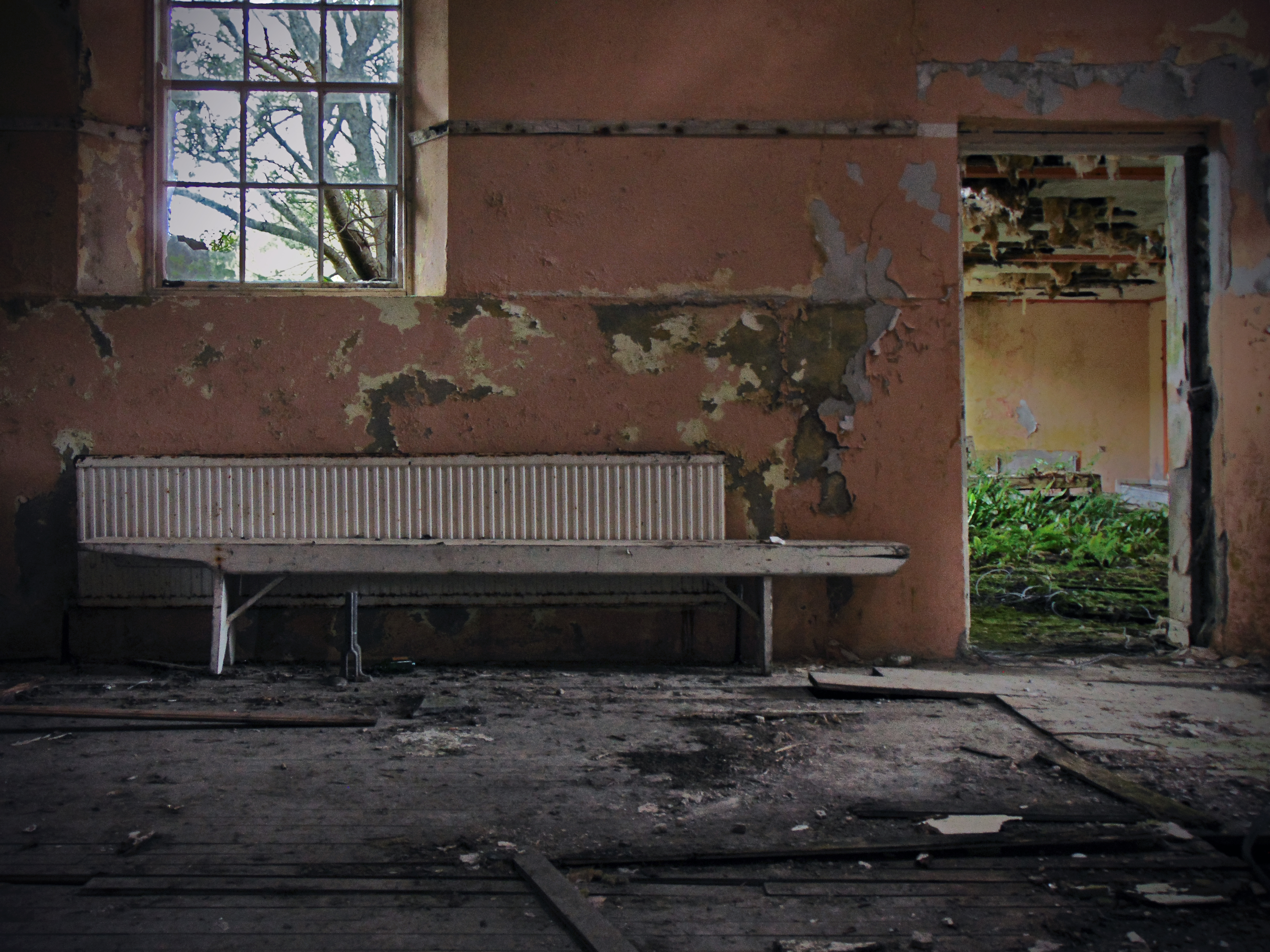
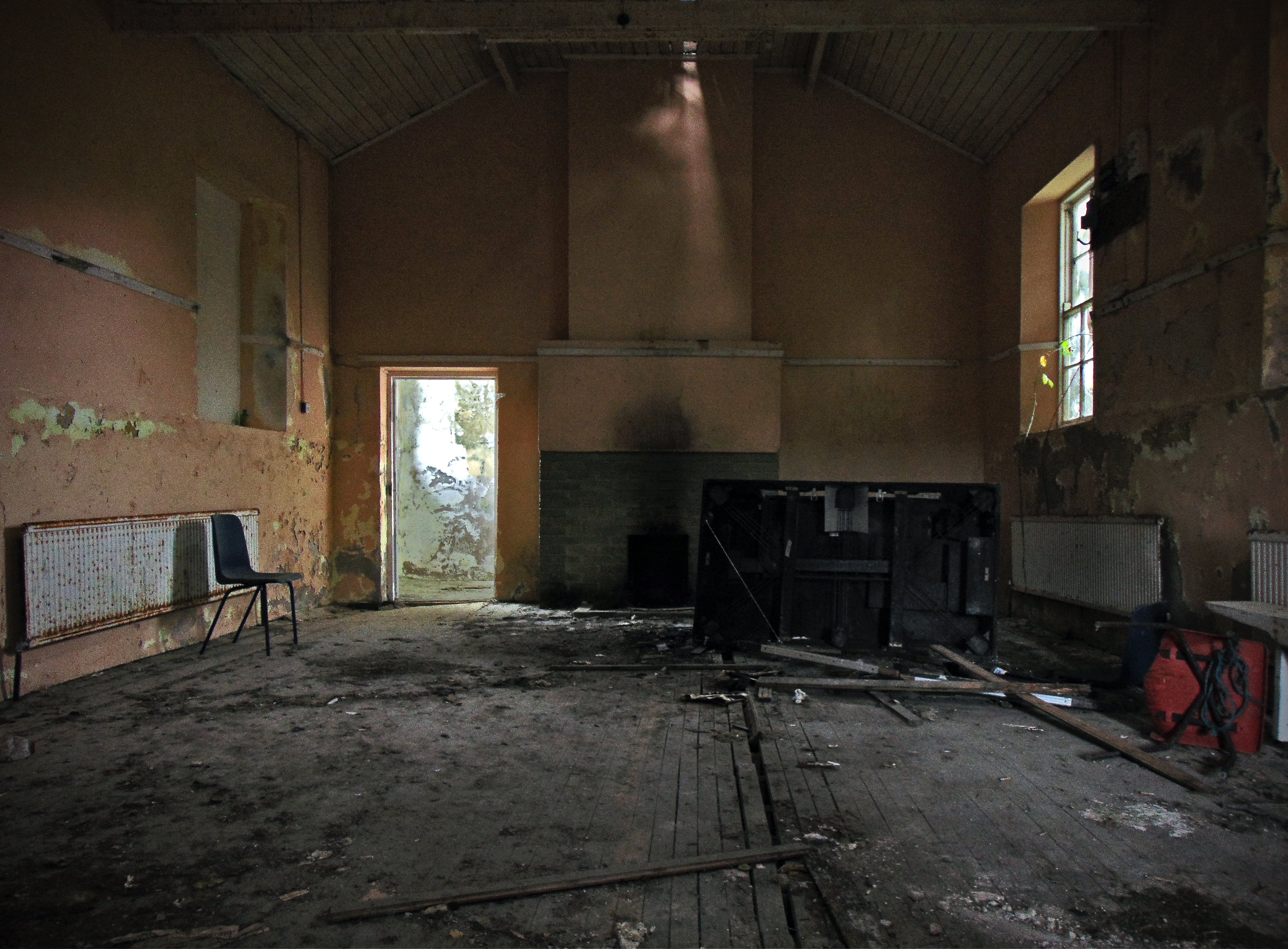
But this is not the case today when the motorway saves you from having to negotiate town and village streets as you travel. The reason I mention it is to explain why, that in the three or so years that I’ve been photographing these old school houses, I had not passed by Coolagh in the parish of Abbeygormacan near Killoran (along the former road to Dublin) , and noticed the old school house there. The building is located on the northern side of the N65 about 3 km beyond Gurtymadden Cross when travelling east.

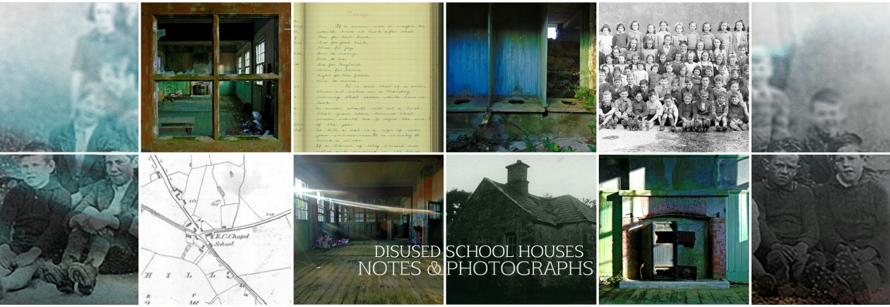
Continue reading Coolagh National School, Drumatober townland, Co. Galway