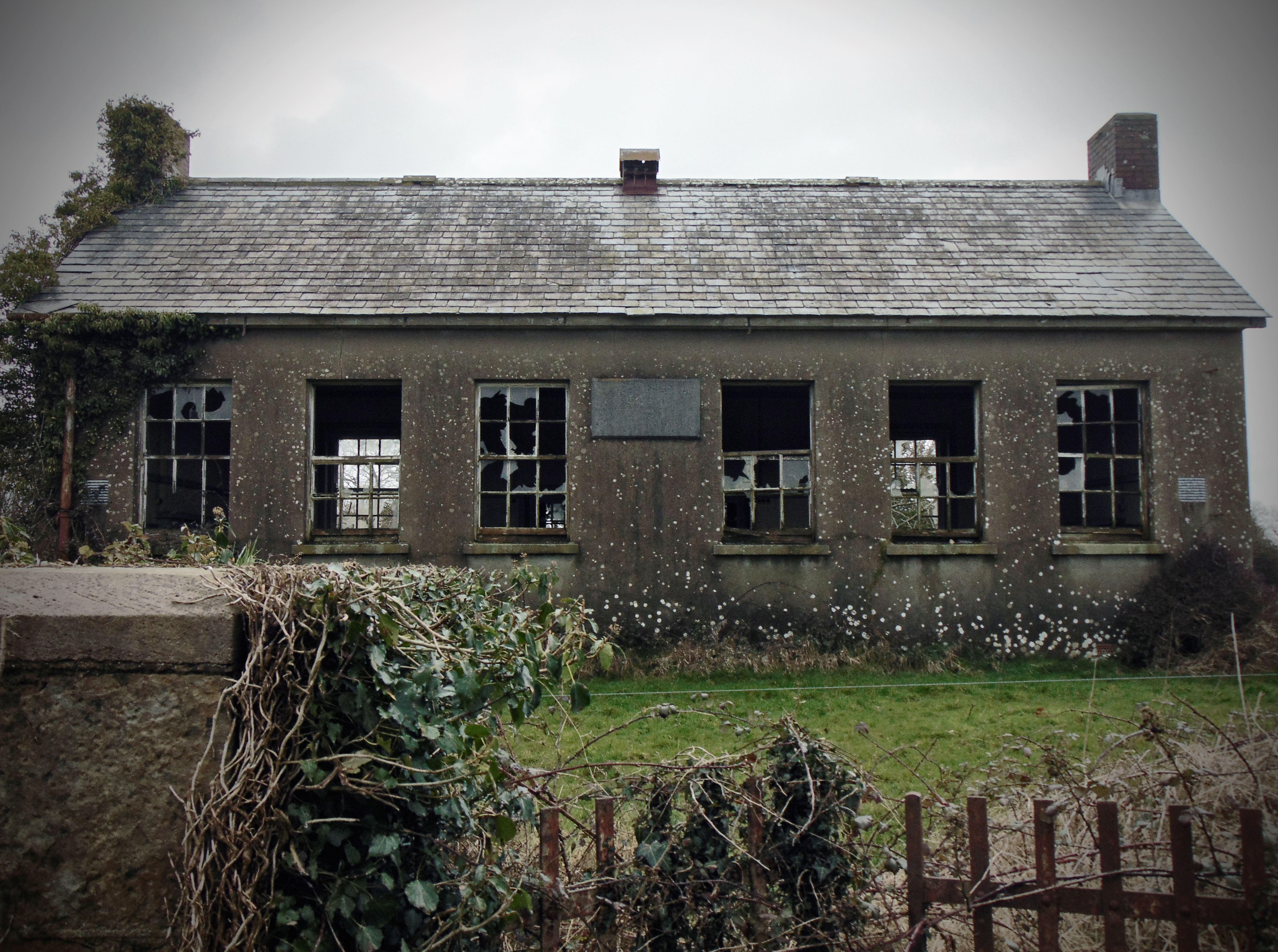

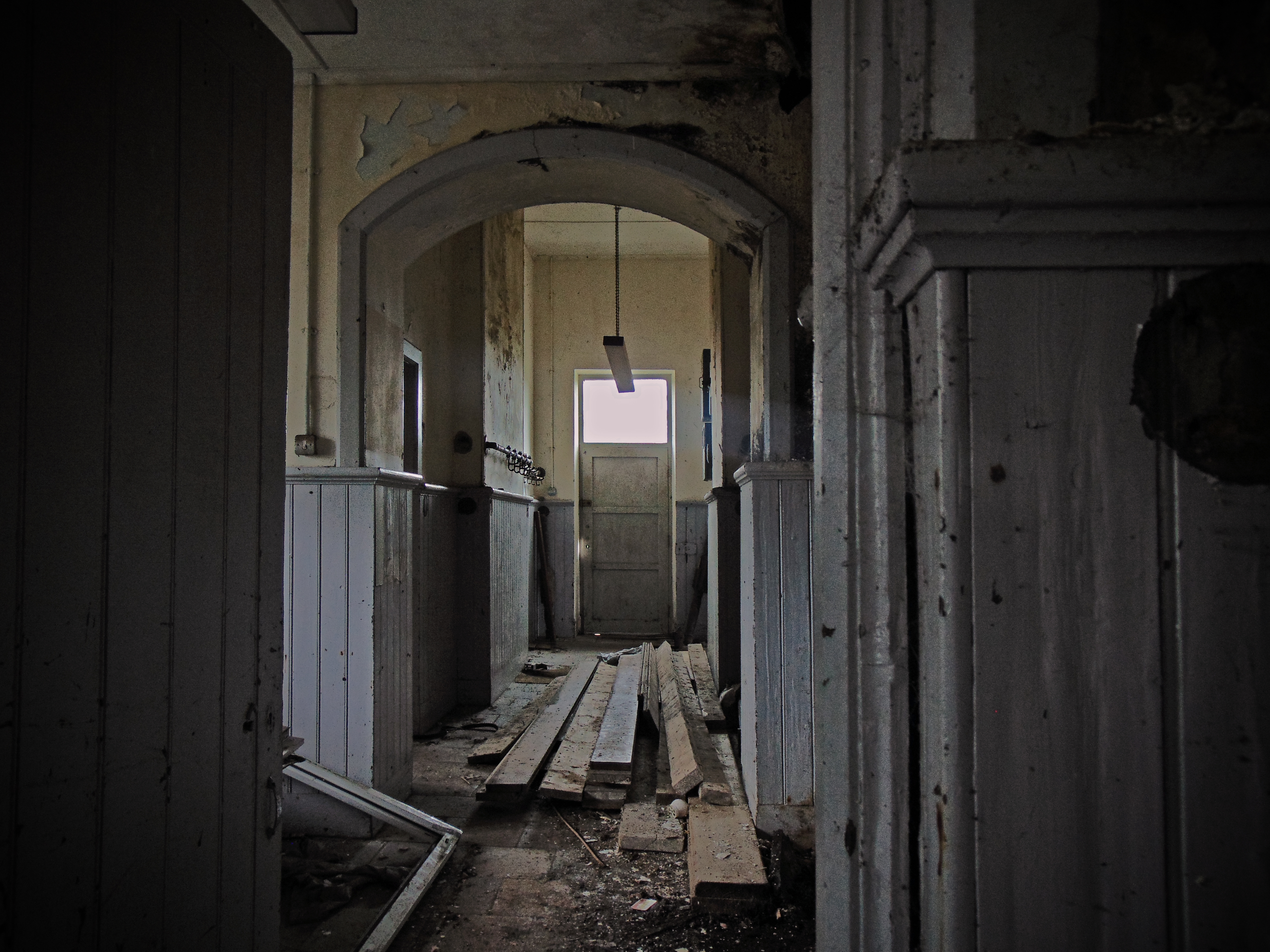
Cluain Chumhra National School, Cluain Chorta townland, Co. Kerry
(dated: c.1910 – 1920)
NGR: 050749, 100942
The Dingle Peninsula (or Corca Dhuibhne) in Co. Kerry stretches some 30 miles (48 km) into the Atlantic Ocean from Ireland’s south-west coast, and is a popular spot for holiday makers. The peninsula is dominated by mist-covered mountain ranges that form its spine, running from the Slieve Mish range to Mount Brandon, Ireland’s second highest peak. The coastline consists of steep sea-cliffs, broken by sandy beaches, with two large sand spits at Inch in the south and the Maharees to the north. Off the west coast lie the Blasket Islands; inhabited until 1953 when the last remaining islanders were forcefully evacuated to the mainland on 17 November by the Irish government. It is an area of outstanding natural beauty, and despite a busy tourist season, it is a peaceful place that retains it’s rural feel.
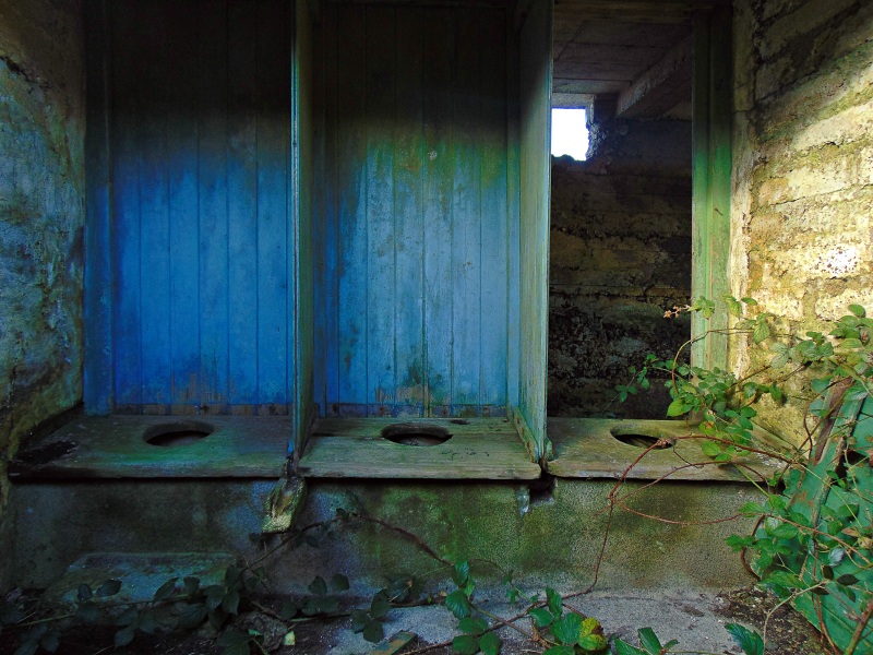
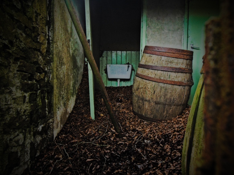
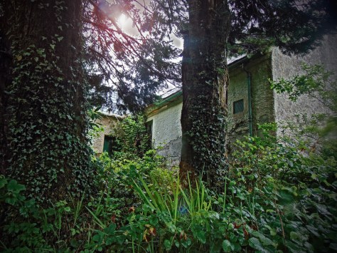
The principal town on the peninsula is Dingle; a major fishing port in Ireland, with the industry dating back to about 1830. The fishing industry brought the railways to the town, and Dingle was formerly the western terminus of the narrow gauge Tralee and Dingle Light Railway. The railway station opened on 1 April 1891, closed for passenger traffic on 17 April 1939 and for regular goods traffic on 10 March 1947, finally closing altogether on 1 July 1953, by which time a cattle train once per month was the sole operation. The railway line weaved along the south coast of the peninsula on it’s way from Tralee, crossing a flat, low-lying area between Lispole and An Cnoicin known as Droichead An Imligh (Emlaghmore Bridge). It is adjacent to the former railway line and the modern N-86 road in the townland of Clooncurra ,that you’ll find an early 20th century school house no longer in use.
Continue reading Cluain Chumhra National School, Cluain Chorta townland, Co. Kerry