Category Archives: Co. Sligo

Rathmullan National School, Bearvaish Townland, Co. Sligo

Rathmullan National School, Bearvaish Townland, Co. Sligo

(dated Late-19th/early-20th century)

NGR: 166696, 312385

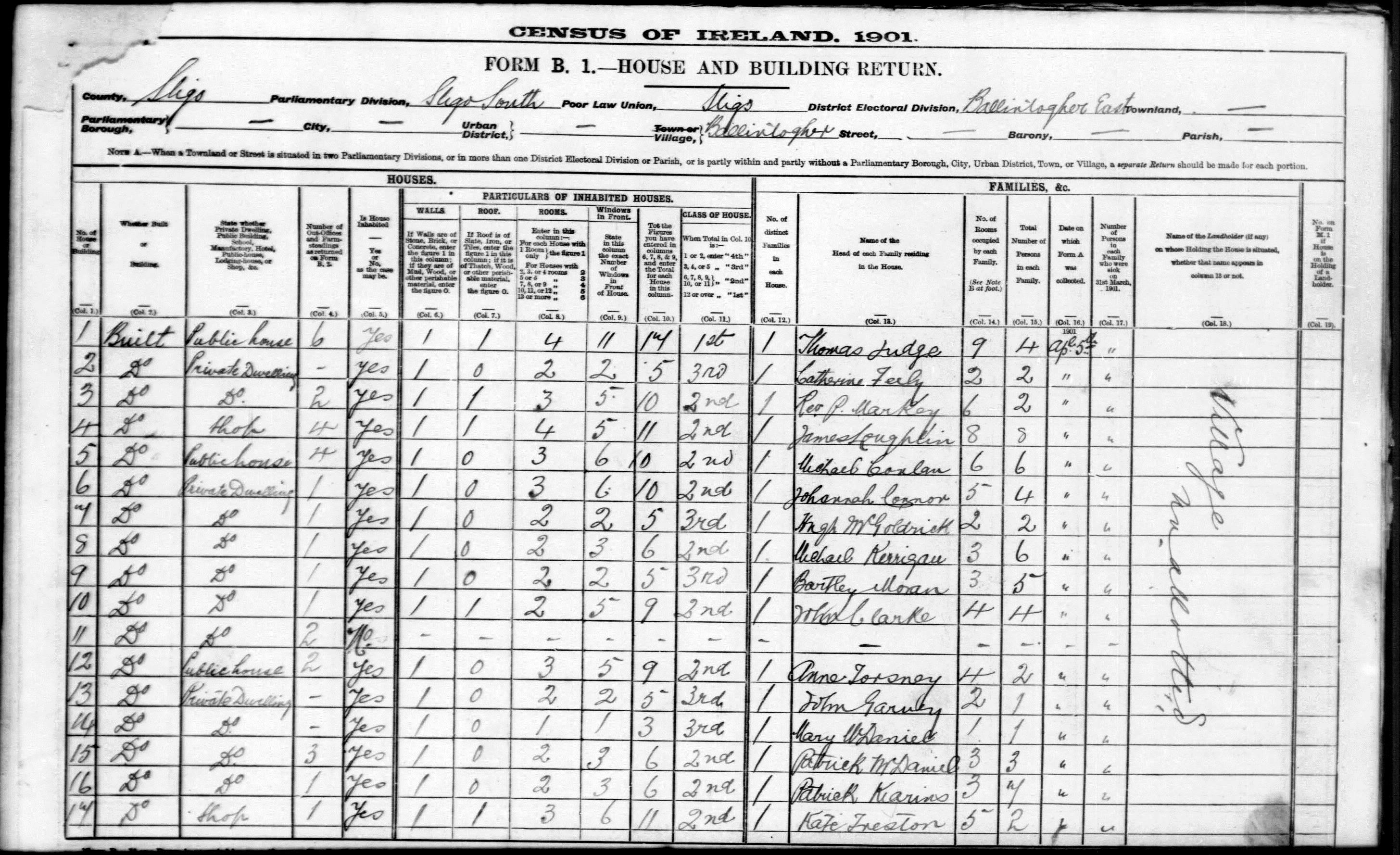
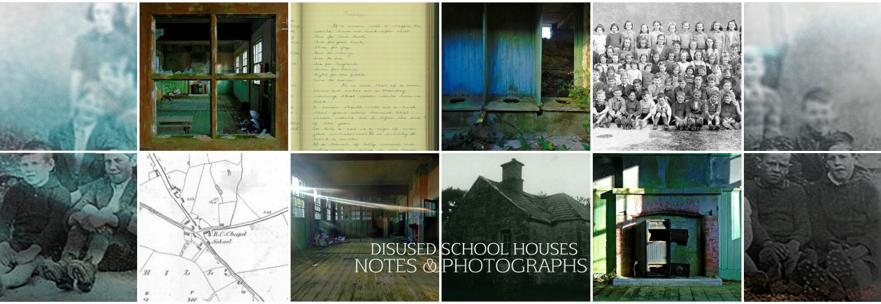
The townland of Bearvaish is located in Co. Sligo, about 6km from Ballymote in the southeast of the county. The surrounding landscape comprises undulating grasslands and areas of bog and wetland. Farming in this quiet landscape is largely pastoral; many of the farms are small holdings, passed down through several generations since the reorganisation of land ownership through the Land Commission during the early part of the 20th century. Before the work of the Land Commission, farmland was generally held in large estates owned and leased to tenants by a local landlord frequently of Anglo-Irish decent who had often held these lands in deed for several hundred years. These landed gentry often maintained a demesne and estate house in the vicinity of their holding, and many of these survive today in varying states of preservation (see the photography of Tarquin Blake).

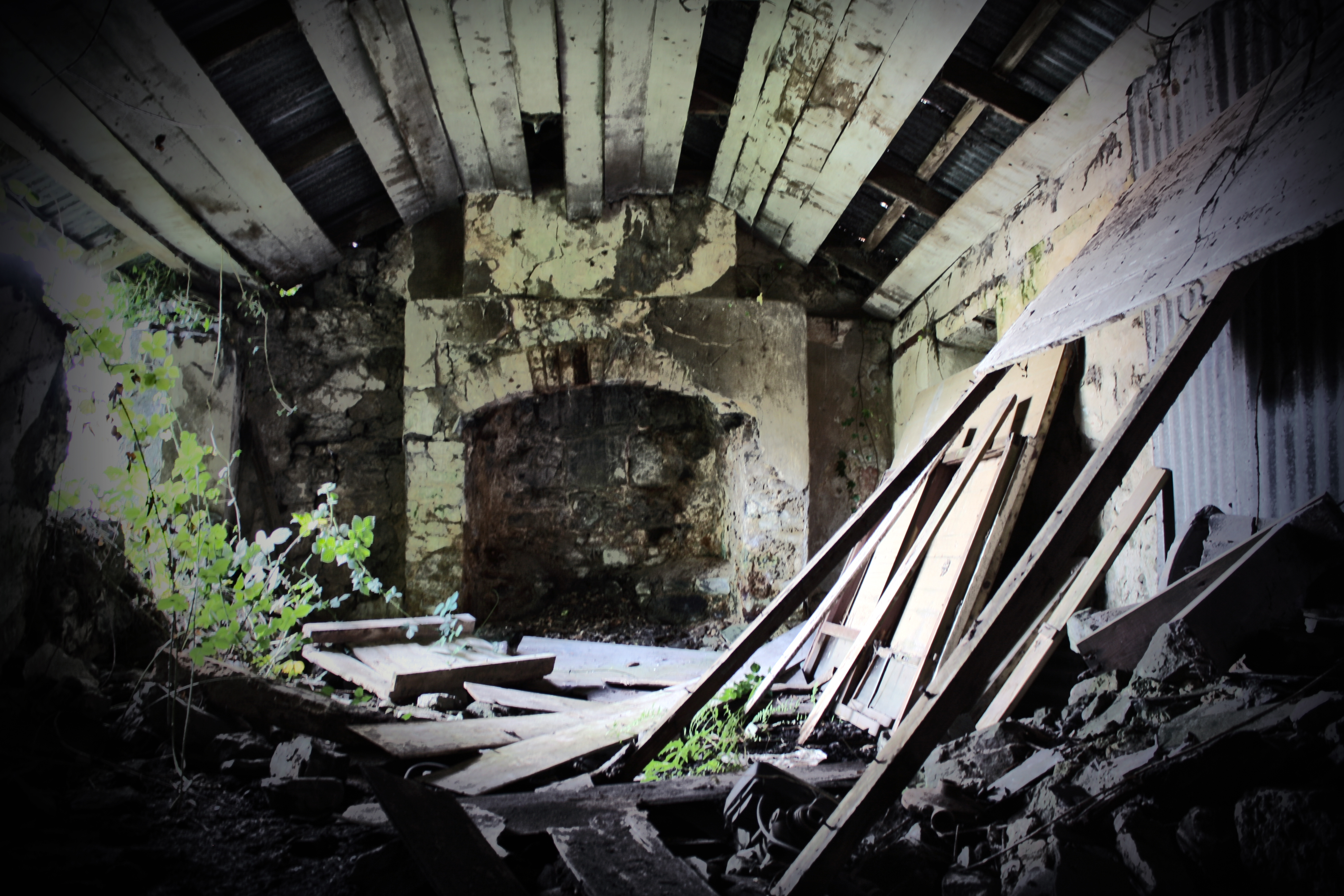
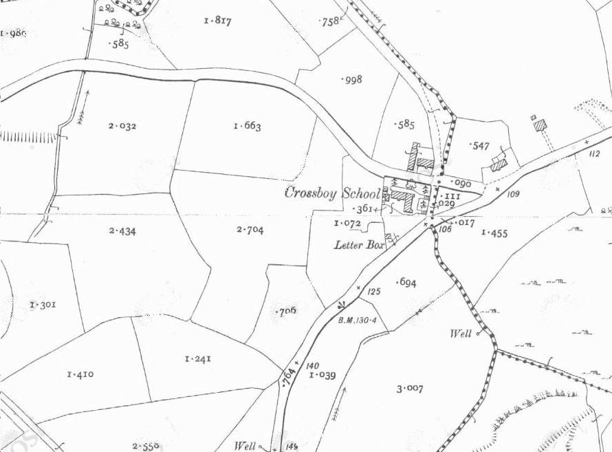
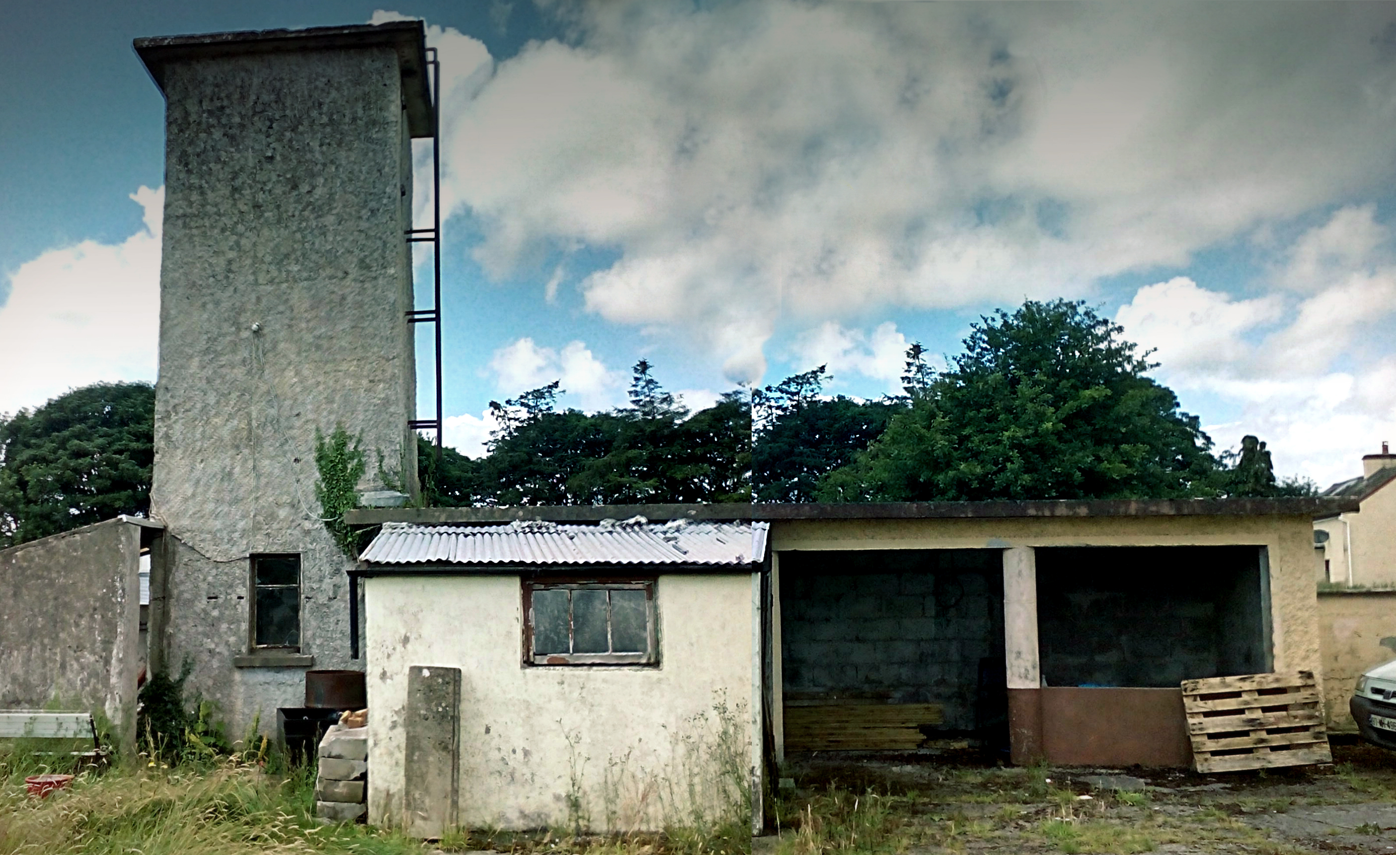
There are layers of history to this rural landscape that are sometimes not immediately evident. Within the unremarkable townland of Bearvaish there is a Barrow of likely Bronze Age date, situated adjacent to the Owenmore River which is crossed by a late 18th century bridge. Immediately adjacent and hidden behind the hedgerows is the old Rathmullan National School which dates to the turn of the 20th century.

Rathmullan National School, Co. Sligo in a summer bloom

Continue reading Rathmullan National School, Bearvaish Townland, Co. Sligo

Bunnanaddan National School, Ballynaraw South townland, Co. Sligo

Bunnanaddan National School, Ballynaraw South townland, Co. Sligo

(dated 1883)

NGR: 160854, 311897

DSC04111[1]

County Sligo in the north-west of Ireland is undoubtedly rich in history, heritage, mythology and folklore. The dramatic and spectacular landscape rises from the wild Atlantic coast with expansive, sandy dunes and beaches, to the Tolkien-esque Dartry Mountains where every cave, cliff face and hill has its own unique story to tell. This environment lends itself easily to storytelling and the imagination, and it is easy to see why it has inspired and featured in a wealth of fantastical folklore throughout the millennia.

20160315_013605[1]

Continue reading Bunnanaddan National School, Ballynaraw South townland, Co. Sligo

Lackagh National School, Knocknagroagh townland, Co. Sligo

Lackagh National School, Knocknagroagh townland, Co. Sligo

(dated: late 19th Century)

ING:170036, 321816

Second Edition OS Sheet

When traveling along the N4 from Sligo Town toward Dublin, six kilometres from the village of Collooney in Co. Sligo lies a less than noteworthy junction named Lackagh. Here by the roadside you will find a collection of disused buildings including the shell of a former pub/dance-hall, and a run-down old petrol station with the dial on the pump firmly rusted at 50p per litre for petrol. If you look a little closer, hidden behind the roadside undergrowth on the western side of the road is the dilapidated remains of a school house marked on the Second Edition Ordnance Survey Sheet for the area.

Edit IMG_0241

Continue reading Lackagh National School, Knocknagroagh townland, Co. Sligo

Ballintogher National School, Tiratick townland, Co. Sligo

Ballintogher National School, Tiratick townland, Co. Sligo

(dated 1840)

NGR: 176104, 328245

Ballintogher National School, Tiratick, Co. Sligo

This school house is situated in the townland of Tiratick in the parish of Ballintogher in rural Co. Sligo – just northwest of the village of Balllintogher. The building dates to the 1840s and served the village, though the First Edition Ordnance Survey sheet for the area which dates to the late 1830s,  shows an earlier school house marked just to the southwest of Ballintogher village. Sadly the 1840s school house is in a poor condition today, having been crudely converted into a shed. In the nearby village there are two town houses of mid-to-late 19th century date listed as protected structures. At the time of the 1901 census in Ireland, some 41 families lived in Ballintogher, and village included 3 public houses and a shop. The Second Edition Ordnance Survey sheet dating to the late 19th century shows a creamery, post-office, ball court and Temperance hall in the village. A railway line, the Sligo, Leitrim and Northern Counties Railway, which was constructed in the 1870s ran near the village. This railway linked Sligo town with Enniskillen and was in operation until 1957.

Like so many rural villages and towns in Ireland during the 19th and early 20th century, school houses along with buildings such as the local church and public houses were at the centre of rural Irish lifeways. They were an intrinsic part of the social fabric of Irish rural life which nearly every member of a community was familiar with.

Ballintoger 1901 census extract

Continue reading Ballintogher National School, Tiratick townland, Co. Sligo

Crossboy National School, Crossboy townland, Co. Sligo

Crossboy National School, Crossboy townland, Co. Sligo

(dated late 19th century)

NGR: 177316, 329561

Crossboy National School, Co. Sligo

Crossboy National School is situated in the townland of Crossboy in the parish of Killerry near Lough Gill on the Sligo/Leitrim border. I passed this school house by chance and managed to take a few snaps before the rain came down. The building comprises a detached L-plan (extended to the rear from the original building at possibly a later date) single-storey structure located at the Crossboy junction.

Crossboy NS 2nd Edition OS

Much of the external surface of the building is overgrown with ivy and no name/date plaque could be found. Drawing on a comparison with other school houses of similar design, a late-19th/early-20th century construction date for this building is suggested here. There are two entrances to the front of the school house, and two corresponding gateways in the boundary wall with stepped approaches to the building – like many of the school houses of this date, these are probably segregated entrances for boys and girls. Internally, the building comprises two classrooms separated by a partition wall. At the time of my visit the later extension was inaccessible. Continue reading Crossboy National School, Crossboy townland, Co. Sligo

Carrowcrory National School, Carrowcrory townland, Co. Sligo

Carrowcrory National School, Corrowcrory townland, Co. Sligo

(dated c.1955)

NGR: 173274, 308836

Carrowcrory National School, Co. Sligo

Carrowcrory National School is situated in the shadow of the Caves of Kesh in the townland of Carrowcrory in Co. Sligo. To the east lie the Bricklieve Mountains, Lough Key and Lough Arrow. The tall water-tower to the rear of the school building makes it identifiable from a distance in this beautiful landscape. According to cartographic sources, there has been a national school on this site since at least the time of the Second Edition Ordnance Survey in the late 1800s; although no trace of the earlier school house remains here today. At the time of this buildings construction in the mid-50s, it was provided with all modern amenities: a playing field and concrete play place, play shelter, toilets, cloakroom accommodation and a water tower. It’s design is typical of national schools built at this time but with architectural oddities including ocular windows to the rear and the inclusion of a water-tower next to the shelter in the former rear schoolyard.

2IMG_20140716_145234_1

Internally, many of the original 1950s fixtures and fittings remain including the original doors. This building is in an excellent state of preservation and is currently being renovated.

2IMG_20140716_144749_1

If you or someone you know attended this national school, please do get in touch and share any stories, anecdotes, photographs, or any other memories you may have.