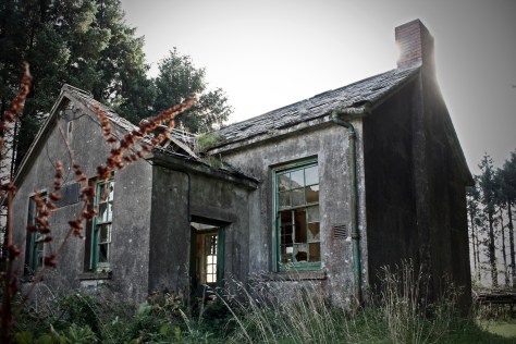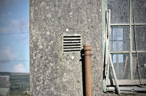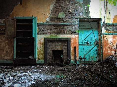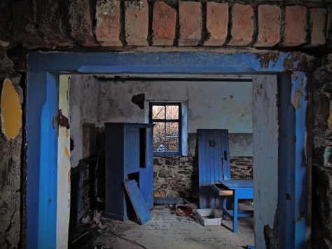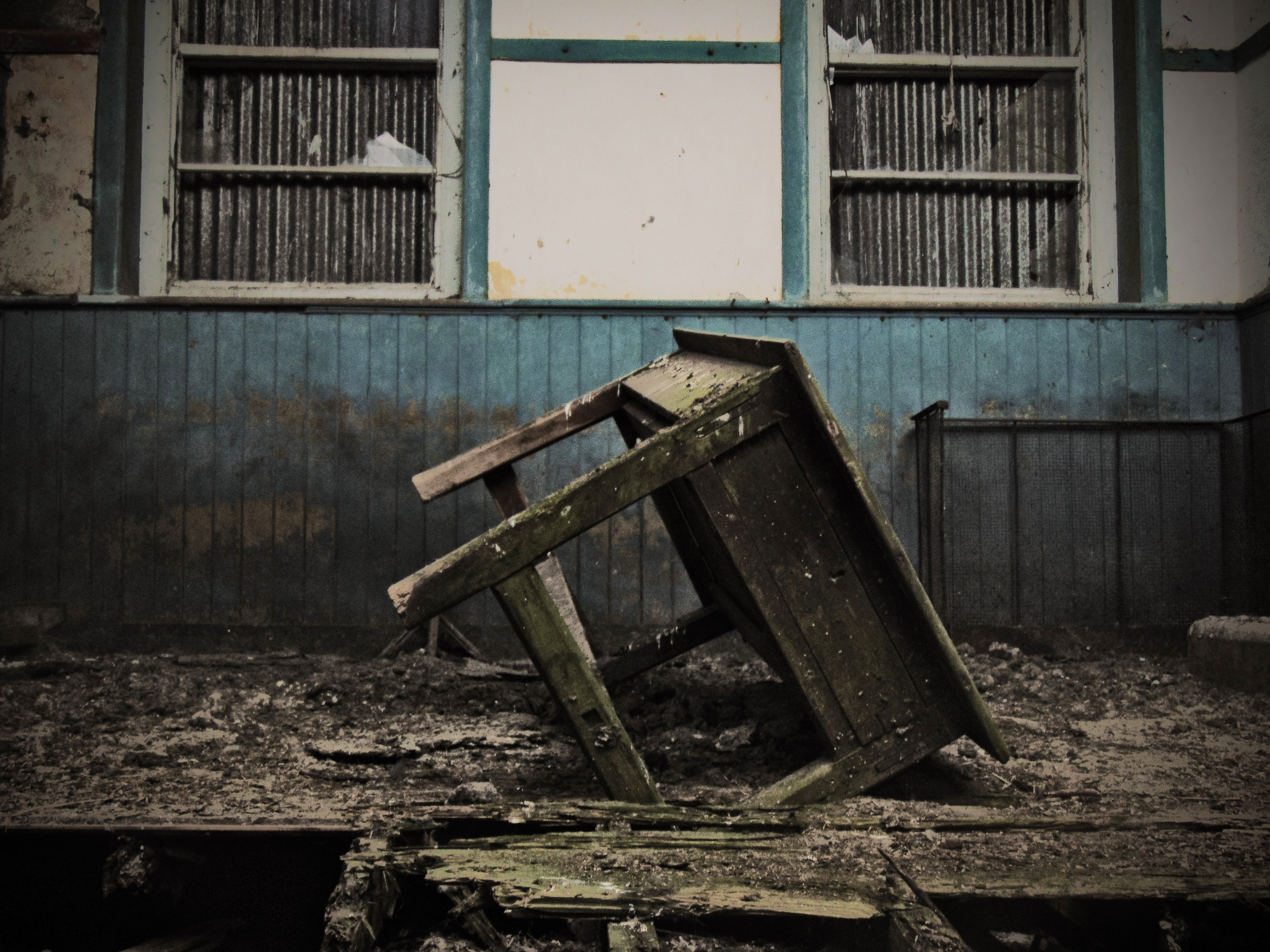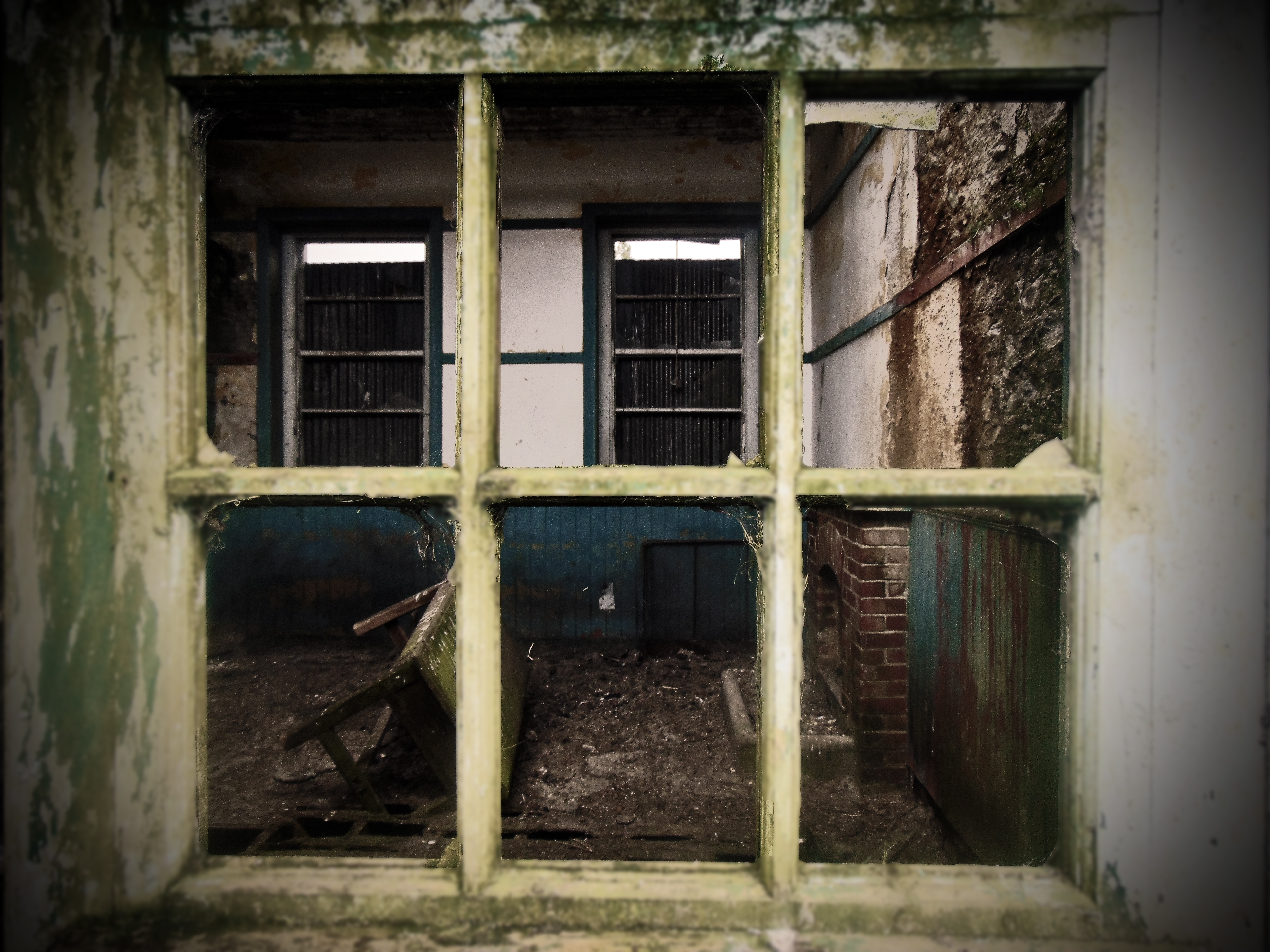

Spike Island National School, Spike Island, Co. Cork
(Dated c.1940s)
ING: 180362, 064819
Spike Island is a rounded, low-lying island centrally located within Cork Harbour. It covers an area of about 103 acres, and it’s highest point is just about 100 ft above sea level. The landing stage on the island’s northern shore is almost exactly 1 mile from the jetty at Cobh, though shallow waters and sandbanks to the east of neighbouring Haulbowline Island mean that a direct crossing route from Cobh to Spike is only safe on a high tide. Cork Harbour has been a working port and a strategic defensive hub for centuries; the mouth of the harbour was overlooked by Fort Meagher (Camden) and Fort Davis (Carlisle) from the 18th century onward, although these fortifications were in fact later incarnations of earlier 16th and 17th -century defensive structures.

The islands central position within the well-sheltered harbour ensured it was to be considered of strategic importance. Several changes of ownership of the island occurred between 1490 and the 1770s. The first artillery fortification on the island was built in 1779. Its construction was prompted by the outbreak of the American Revolution in 1775 and in particular by the entry of France (1778) and Spain (1779) into the war on the American side. Cork Harbour was used as an assembly point for convoys to the Americas and at one point more than 400 vessels were assembled in the harbour. Initial phases of a permanent fortification of the island began in 1789/90, and building and landscaping works associated with the military fortification continued through the early 19th century. In 1847 the military complex was converted to a prison and convict depot, and the island was used to house “convicts” prior to penal transportation. By 1850 over 2,000 convicts were detained on Spike Island. Layers of complex and tender history are intertwined with the landscape of Spike Island at this time, and the island has been the subject of recent work by Cal McCarthy and Barra Ó Donnabháin.
Following the establishment of the Irish Free State, three deep water Treaty Ports (of which Spike Island was one) were retained by the United Kingdom in accordance with the Anglo-Irish Treaty of 1921. As such the handover of Spike Island to the Irish Free State did not occur until 1938. The island remained the site of a prison and military base (for the Irish Army, the FCÁ and later the Navy) through the 20th century, until the prison facility closed in 2004.
Continue reading Spike Island National School, Spike Island, Co. Cork

")